Exploring Pathways to a Climate Resilient Mumbai: Adopting a Sustainable Landscapes Approach to Urban Development

This blog is the first in a four-part series that highlights critical aspects of implementing the Mumbai Climate Action Plan. Focusing on the significance of conserving the 'Ecology' of the city, the authors outline four pathways of incorporating a sustainable landscape approach in developmental planning.
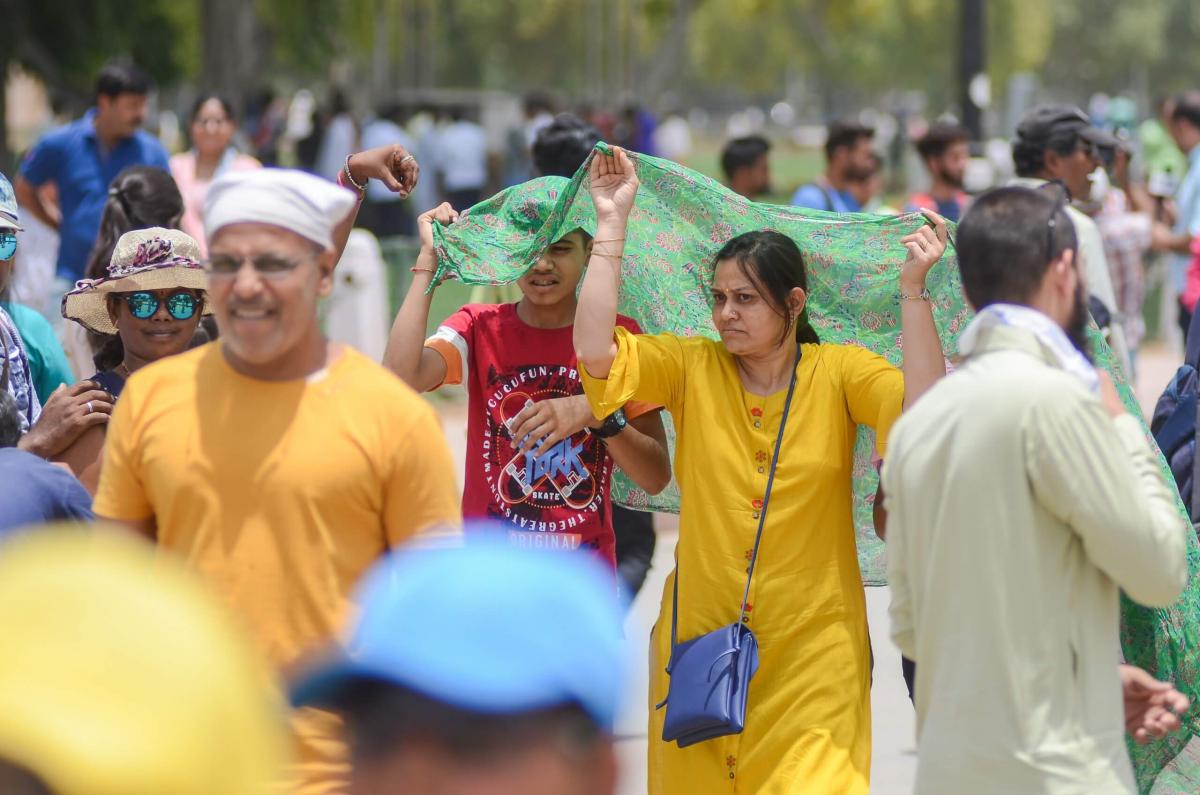
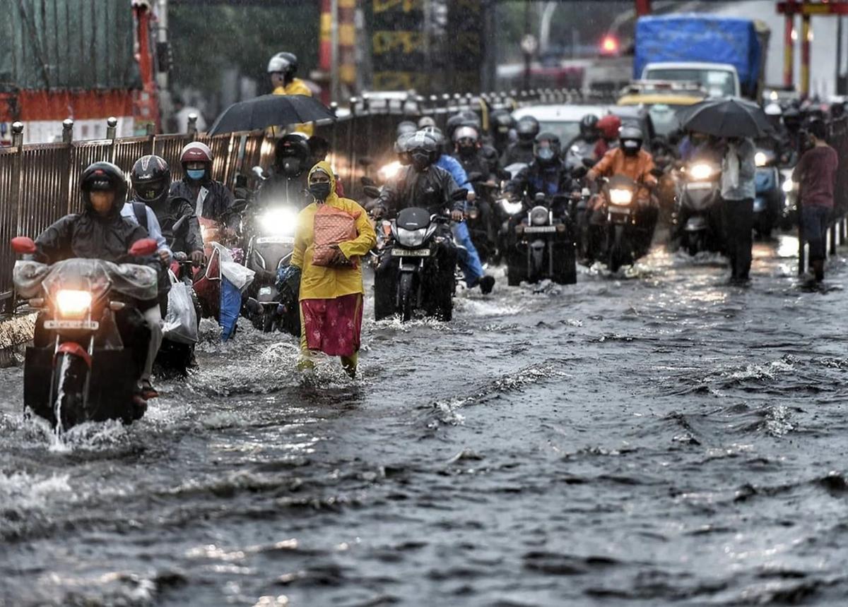
The impact of climate change on urban lives and livelihoods is worsening and this is evident in the increasing frequency and intensity of extreme rainfall events, and heat days, over the past decade. Extreme weather events can have a huge impact on a low-lying, coastal city like Mumbai in the absence of climate-sensitive urban planning that can protect a city’s natural ecosystems.
The Mumbai Climate Action Plan (MCAP) is a step in the right direction, as it considers both the city’s widespread development and increased incidents of climate risks. Mumbai can strengthen its critical infrastructure and services and protect its vulnerable populations by adopting a sustainable urban landscape approach in the city’s existing and future plans.
Here are four pathways for the city to consider —
Define guidelines for climate resilient planning
The MCAP highlights the relation between land-uses and higher surface temperatures. Additionally, the MCAP shows the overall run-off co-efficient of the city — i.e., the ratio of precipitation to run-off — has increased from 0.5 to nearly 1 due to concretization and decrease in permeable surfaces. This means that a larger volume of storm water ends up in the city’s storm water network, further stressing the existing infrastructure.
Land use patterns, building footprints and building materials are all an outcome of two statutory documents- the Development Plan (DP) and Development Control Regulation (DCR). The DCR suggests a minimum of 15% open space within any land parcel with certain prescriptions to maintain permeability. However, relaxation in these prescriptions has resulted in open spaces getting paved, impacting permeability and subsequently increasing the storm water runoff. Neither document has any specific regulations to address heat stress.
City governments need to integrate additional regulations, within the DP and DCRs, that incorporate urban heat and focus on strengthening flood mitigation measures within city planning. This will not only increase percolation and the holding capacity on land parcels but will also encourage greening measures to tackle heat stress.

Foster cross-departmental problem-solving
Urban heat and flooding are complex issues that cut across conventional departmental purviews, administrative boundaries and urban plans. For instance, in Mumbai, open spaces, water bodies, nullahs, stormwater drains, sewage networks and road works are managed by the Gardens, Storm Water Drainage, Sewage and Roads and Traffic departments, respectively. Water, however, invariably features on every department’s mandate when solid waste chokes rivers and nullahs, roads get flooded or when sewage pipes end up leaking waste and infiltrating the aquifer.
The first step is acknowledging the need for a cross-departmental approach and creating collaborative opportunities that are discussed routinely. Government procedural documents like Request for Proposals (RfPs), Terms of References (ToRs), Detailed Project Reports (DPRs) and project tenders can consider incorporating cross-departmental integration. The sustainable urban landscape vertical, within the proposed Climate Action Cell in the MCAP, is aimed at addressing heat and flooding issues through a single lens and bringing together different departments.

Design multipurpose land utilization
Land is a limited and expensive resource in Mumbai, posing a critical challenge to present and future demands for urban expansion. The conventional urban planning approach fails to address this limitation, and the cost of restricting already scarce land, for a single function, can be enormous. Rising urban heat and flooding are not just environmental or technical challenges but are problems rooted in design and thus require design-thinking. For example, open spaces in a city can be looked at beyond their aesthetic/recreational value. These can be designed based on ecological principles to absorb rainfall, reduce heat stress and runoff and enhance urban biodiversity.
Ensure evidence-based decision making
The MCAP sets specific targets to meet its broader urban adaptation to climate change impact goals. Regular monitoring, evaluation and reporting are critical to tracking the progress of the plan and need routine data collection and management. Most targets in the plan are cross-sectoral and require broadening of the scope of data collection to ensure evidence-based decision making. For instance, the MCAP climate and air pollution risks and vulnerability assessment shows that low-income settlements in the city are the most vulnerable to the impacts of climate change. Such analysis can be used to prioritize urban greening and public health initiatives in areas most prone to heat risk and flooding. Similarly, identifying flood prone zones using specific datasets, can reveal areas that require special DCRs to minimize impact. Relevant data collection and processing are key to smooth cross-departmental collaboration and nuanced evidence-based decision making.
In a city, where more than 42% of residents live in slums and are exposed to climate risks, prioritizing vulnerable communities and making them part of the planning process is vital. For instance, slum settlements in the city experience land surface temperatures as high as the Mumbai International Airport and on average 5-8 degrees higher than neighborhoods that are greener with more open spaces. Involving the community can lead to a solution of multiple benefits - tackling flood and heat risks as well as meeting community needs. For example: do residents want a maidan with trees on the edge for shade instead of an urban forest that may help the city meet its planting targets? This is also crucial to building ownership and ensuring that long-term maintenance is taken care of. Cities can be considered sustainable and resilient only if they firmly place the most vulnerable at the core of their planning.
Views expressed by the authors are personal.
The next blog in the series will focus on vulnerable communities and how proper implementation of the Mumbai Climate Action Plan can be just and inclusive.
